
There's no doubt that Google Maps is the most used app on Android. Not only for starting routes by car, foot, or bike, but also for finding the best public transportation routes; planning trips with places to eat, monuments, or hotels; or even pinpointing the exact spot where you parked your car if you're traveling through an unfamiliar city.
One of the most notable features of Google Maps is the ability to select routes that avoid any tolls or toll roads. This tool is ideal for planning your trips, as it will give you an average travel time and help you avoid any additional toll charges.
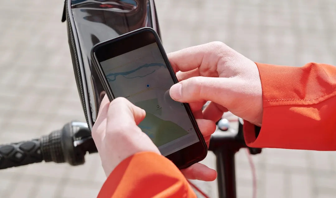
To do this, the first thing you need to do is open the Google Maps app on your smartphone before starting your route. Next, select your destination so the app can calculate the best route to follow. Once you've done this, you'll see the total distance and the estimated time it will take to complete your trip on your phone screen.
At the bottom of the screen, you'll see the ROUTE INFO or START buttons. If you tap the first button, you'll open drop-down menus with more information about your upcoming trip. This is where you'll see if the calculated route includes tolls and the total number of tolls from your starting point to your destination.
To avoid tolls in Google Maps, you need the app to recalculate your route to reach your destination without using any toll roads. Simply return to the main route screen where you selected your destination and tap Route Options. You'll then see three options you can apply to your route: Avoid Highways, Avoid Tolls, and Avoid Ferries.
This way, you can edit your route to suit your needs as easily as possible. Thanks to Google Maps, you can start your navigation and avoid unnecessary road tolls.
One of the most notable features of Google Maps is the ability to select routes that avoid any tolls or toll roads. This tool is ideal for planning your trips, as it will give you an average travel time and help you avoid any additional toll charges.
Steps to avoid tolls on Google Maps
To do this, the first thing you need to do is open the Google Maps app on your smartphone before starting your route. Next, select your destination so the app can calculate the best route to follow. Once you've done this, you'll see the total distance and the estimated time it will take to complete your trip on your phone screen.
At the bottom of the screen, you'll see the ROUTE INFO or START buttons. If you tap the first button, you'll open drop-down menus with more information about your upcoming trip. This is where you'll see if the calculated route includes tolls and the total number of tolls from your starting point to your destination.
To avoid tolls in Google Maps, you need the app to recalculate your route to reach your destination without using any toll roads. Simply return to the main route screen where you selected your destination and tap Route Options. You'll then see three options you can apply to your route: Avoid Highways, Avoid Tolls, and Avoid Ferries.
This way, you can edit your route to suit your needs as easily as possible. Thanks to Google Maps, you can start your navigation and avoid unnecessary road tolls.

Leave a comment
This site is protected by hCaptcha and the hCaptcha Privacy Policy and Terms of Service apply.